A 6.5 hr ferry ride brought us to the amazingly beautiful island of Newfoundland. One of the first lesson I learned was that the actual province of NL is comprised of the island of Newfoundland AND the continental region of Labrador. Who knew? Not I...!!!! I had always thought NL was the abbreviation of NewfoundLand... but it actually stands for Newfoundland & Labrador. The other lesson learned was that Newfoundland has "Newfoundland Standard Time (an Atlantic Time Zone)". And what that means is it is 1.5 hrs ahead of Eastern Standard Time. So when it was 9AM in Boston, Massachusetts it was 10AM in Nova Scotia and 10:30AM in Newfoundland...that fact remained pretty mind-boggling to me during the whole 2 months we were on this incredible island. And don't get me started about my confusion when I tried to think about what time it was in Wyoming or California! My goodness, the fact that there there was an extra 30 minutes worked in there (as opposed to an hour) really turned my noggin' upside down!!
OK - back to the ferry ride. You might have felt a little bad for us when you read SIX & ONE HALF HOURS on the ferry. But it truly wasn't bad at all! This was NOT a ferry where you could feel all the waves and hoped you could get a seat inside with a padded chair. This was a comfy big-ass ship with about 100 cabins to sleep in, a restaurant, a bar area, a coffee and snack stand, a gift shop, and lots of levels of parking for cars, trailers, cargo containers and Mack trucks and the like. There was no need for us to get a cabin and we were quite comfy in our airplane-type (although roomier) reclining chairs. It was an easy ride and I was like a little kid at Christmastime when I was up on deck and spotted the island of Newfoundland in the distance! (i.e., the cover photo for this post...)
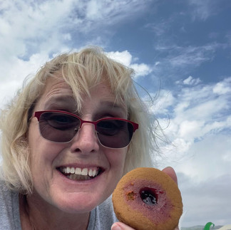
Our first week was spent at Grand Codroy RV/Tent Camping Park in Doyles, which was about 1/2hr from Port aux Basques (where the ferry had docked). We took some day drives to explore the southwest portion of the island which included the Codroy Valley, the Long Range Mountains, the eastern most point of the island, and the Granite Coast... A highlight of the Granite Coast area was a visit to Rose Blanche Lighthouse which was built with stone from a nearby quarry in 1871. Seeing the lighthouse and learning about how it was originally built and then later restored in the late 1990's using the same techniques was both impressive and fascinating. The landscape at this area, both with the rocky shores and scenic fishing village, let us know that we were in Newfoundland! Oh, and the other bit of Newfoundland-ness that occurred in Rose Blanche was that I had my first "jam-jam" cookie and it was scrumptious (picture included)!
Next stop on our Newfoundland adventure was Gros Morne National Park where we were going to spend two weeks. We stayed at the Gros Morne/Norris Point KOA in Rocky Harbor and began to explore the mind-blowing beauty...
EDITOR'S NOTE:
At the end of this post I have included a picture of the map of Newfoundland that we used while there. I've circled the places we stayed and hopefully you can use this as a reference to return back to in my subsequent posts. To help with the context of it all, the map is color-coded by regions from left to right (west to east).
GREEN: Western (which includes where we landed on the island in Channel-Port aux Basques, up to Codroy, Rocky Harbour, Port au Choix, Quirpon (next to L'Anse aux Meadows National Historic Site at the Northern tip, and then Trout River in Gros Morne on our return trip)
RED: Central (which included our time in Grand Falls-Windsor and day trips to Gander, Twillingate, Leading Tickles..)
BROWN: Eastern (and our brief stays in Thorburn Lake)
YELLOW: Avalon Penninsula (our 2+ week stay in the capital of St. John's and adventuring around)


Comments